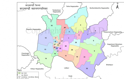
Last Thursday, the Ministry of Federal Affairs and Local Development (MoFALD) launched a website with all the details of 753 local levels of the country, reports The Himalayan Times.
The website has a Geographic Information System (GIS) map and a local level detail list. The GIS map covers Nepal with its states and districts. When a district is selected, it shows different details of the district like the total number of wards, total population, area and development committees in it.
The local level detail list shows a list of development committees sorted according to the state number, district and metropolitan and village.
It has a link to the map of the area and also to the district website.
Ministry secretary Dinesh Kumar Thapaliya said that the portal would help make the local levels information-friendly based on information technology and also, to deliver good governance and transparent services by internalizing the information technology.
He further added that local levels can add or remove their information on the website and maps as per the need. According to Thapaliya, a mobile app for the Ministry has also been developed along with the website.
The website can be accessed at https://103.69.124.141.
-
TechLekh Awards: Best Phones of 2025 in Nepal Winners!Ooooooooooh boy, what a year it was for smartphones, even in Nepal! Phones have been…
-
TechLekh Awards: Best Tablets of 2025 in Nepal Winners!The smartphone scene in Nepal was absolutely crackling this year with constant new launches and…
-
TechLekh Awards: Best Scooters of 2025 in Nepal Winners!Scooters have played a major role in shaping everyday mobility in Nepal. They have always…
-
TechLekh Awards: Best Bikes of 2025 in Nepal Winners!Motorcycling in Nepal has always meant more than just getting from one place to another.…
-
TechLekh Awards: Best Cars of 2025 in Nepal Winners!Electric vehicles continue to dominate Nepal’s market in 2025, and Chinese manufacturers still lead the…
-
vivo Y31d with Massive 7,200mAh Battery Launching Soon in NepalHIGHLIGHTS The vivo Y31d price in Nepal could start from Rs. 23,999 (6/128GB). The device…
-
Samsung Galaxy S26 and S26+: Playing It Safe in 2026?HIGHLIGHTS The Samsung Galaxy S26 and 26+ are launching on February 25, 2026. The phones…
-
OnePlus 15R Launched in Nepal at a Flagship Price! Is It Even a Flagship Killer Anymore?HIGHLIGHTS The OnePlus 15R in Nepal starts at Rs. 98,499 (12/256GB). The phone is powered…


